Surveying & Technology
We bring unmatched surveying experience to the region. We were originally established as a predominantly surveying-focused company. Today, the professional and knowledgeable staff is further supplemented by state-of-the-art surveying equipment and technology.
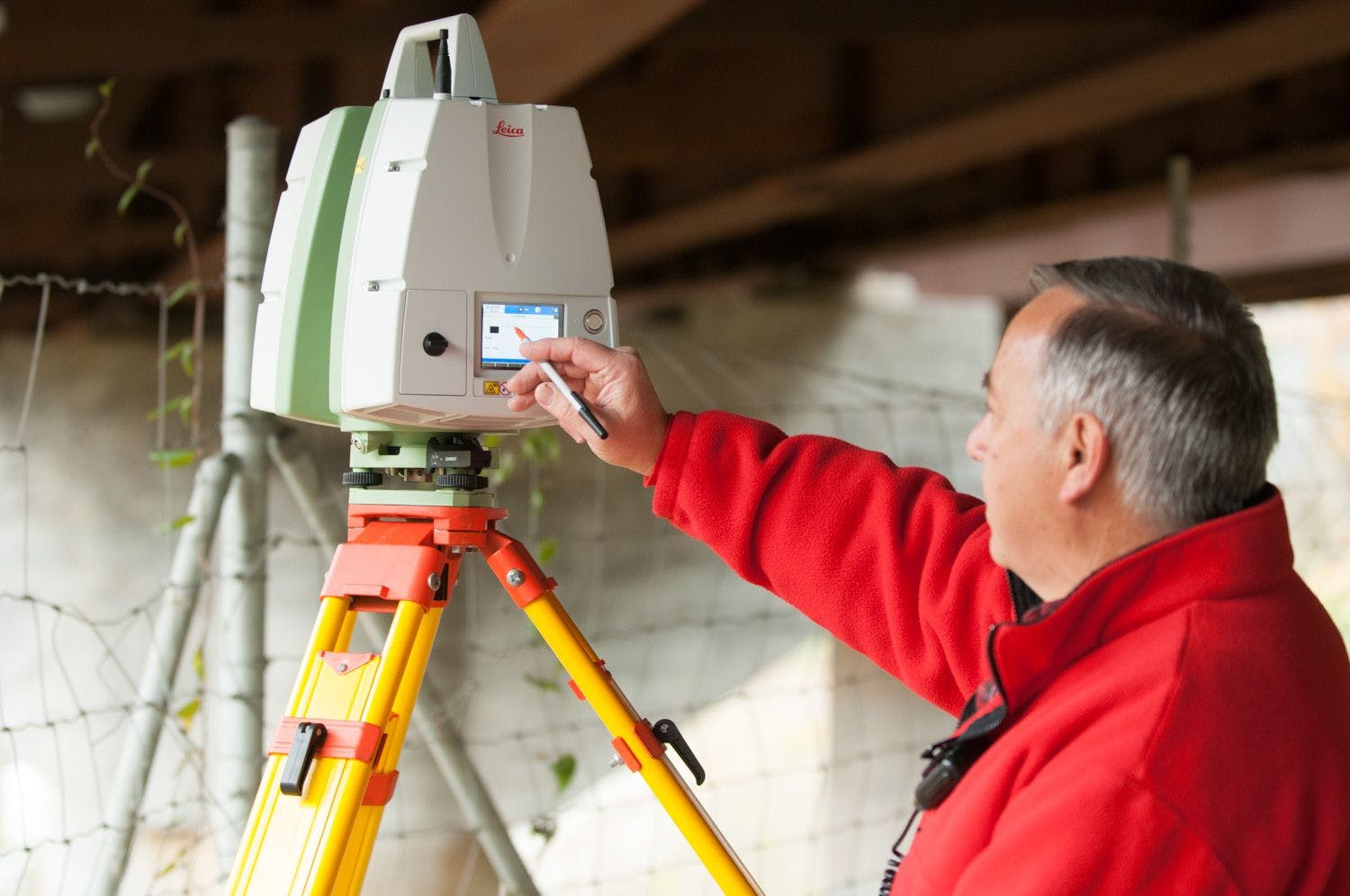
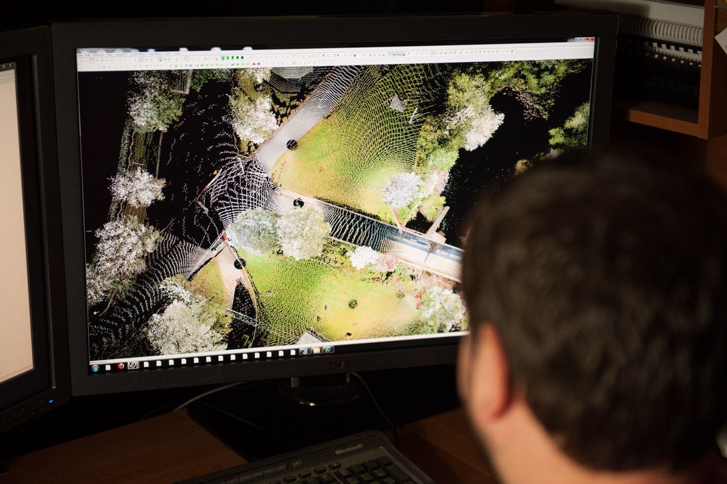
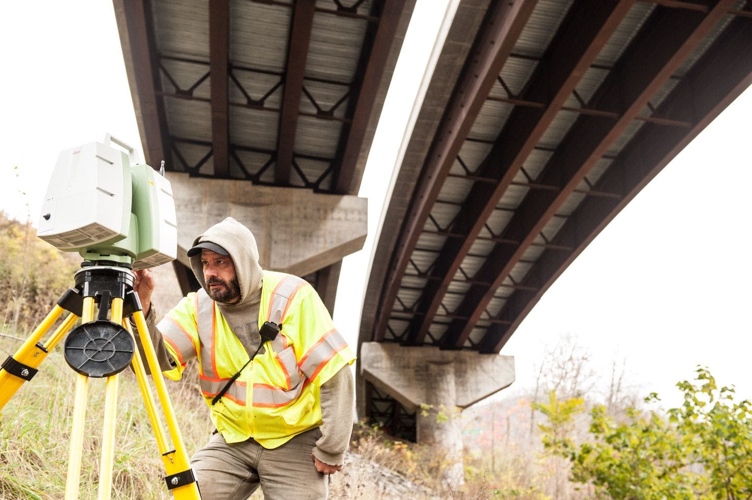
3D Laser Scan Surveying
We always strive to be progressive in all the work we accomplish. We have invested in 3D laser scan surveying technology to provide superior results to clients. 3D Laser Scanners can collect over 12,000 points per second and can go places that often take hours or may be impossible to safely send survey technicians.
- Accident Investigation
- Hazardous Site Surveying
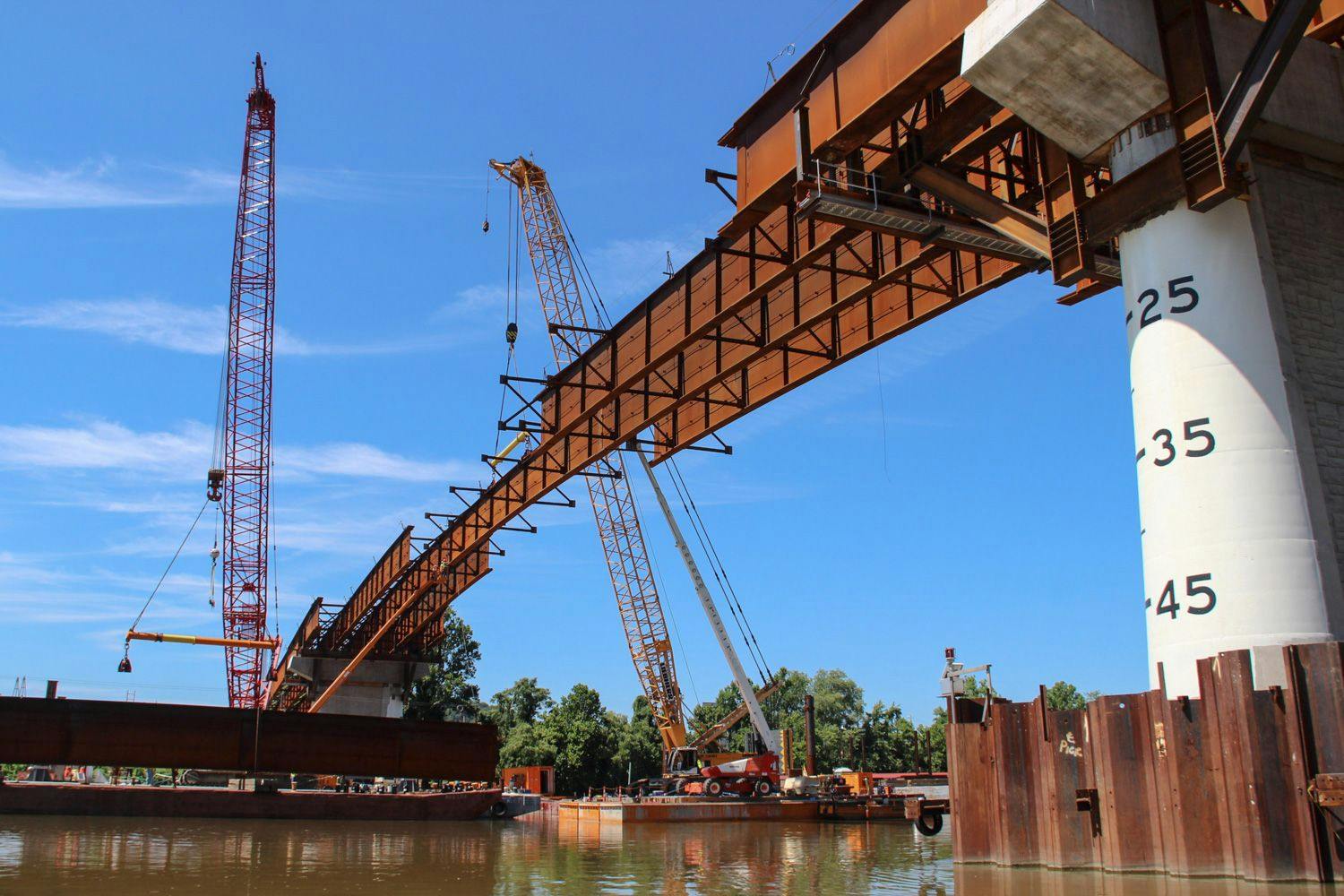
- Bridges
- Building Interior Surveying
- Coal Stockpile Surveying
- Topographic Surveying
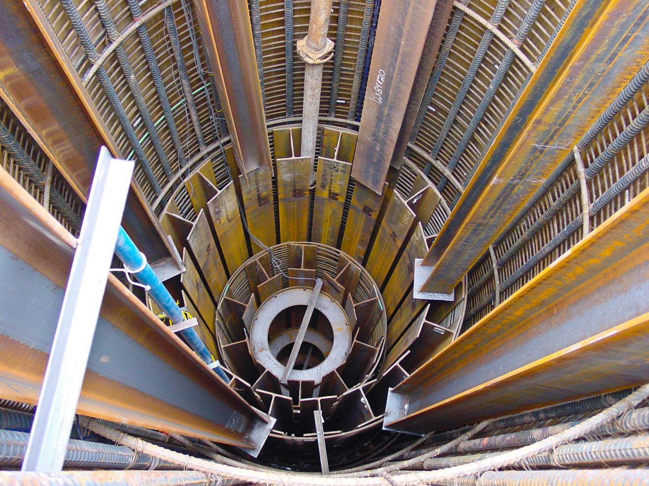
- Structural Deformation Analysis
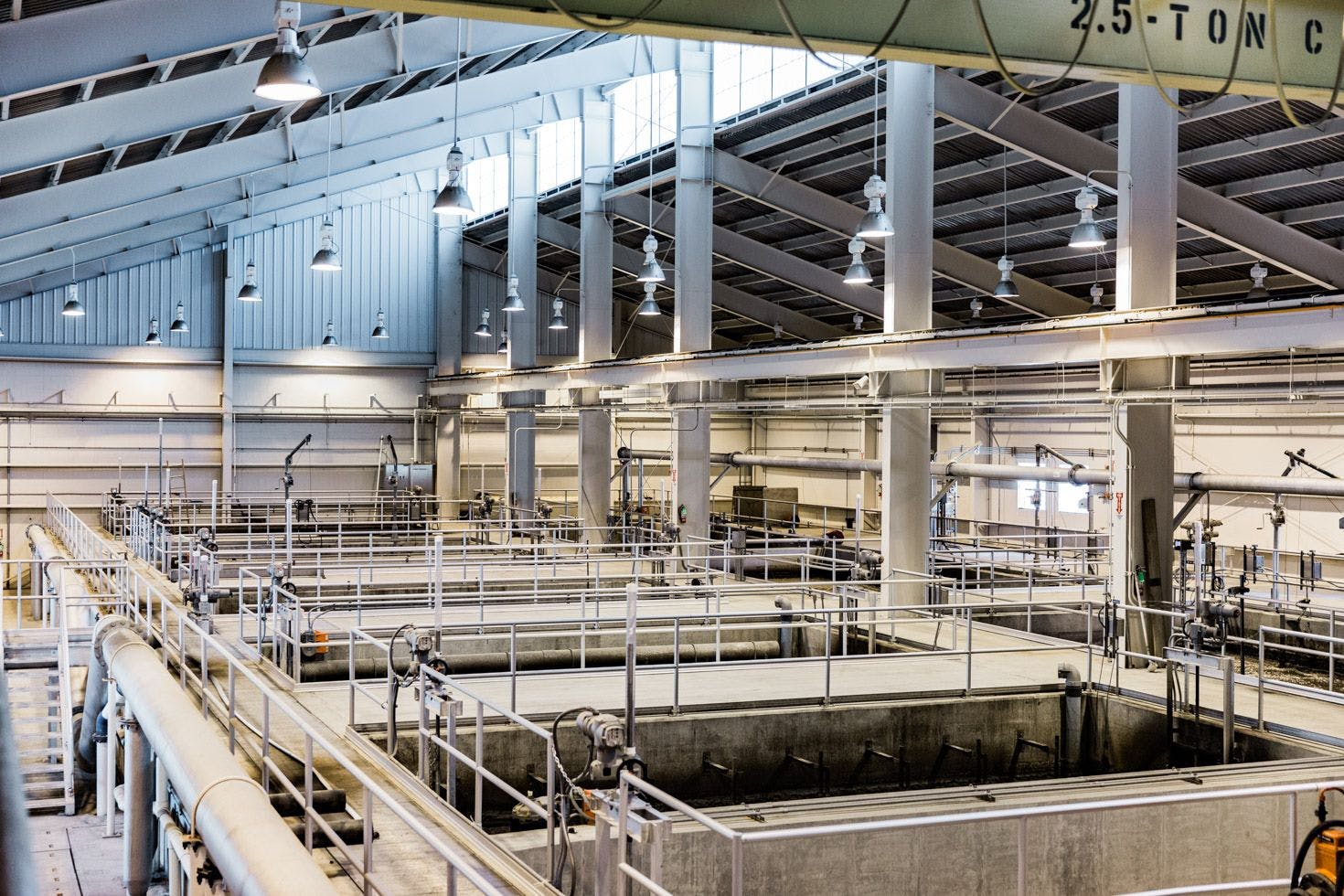
- Industrial Plant Surveying and Analysis
- Surface Modeling
- Building /Facility Rendering
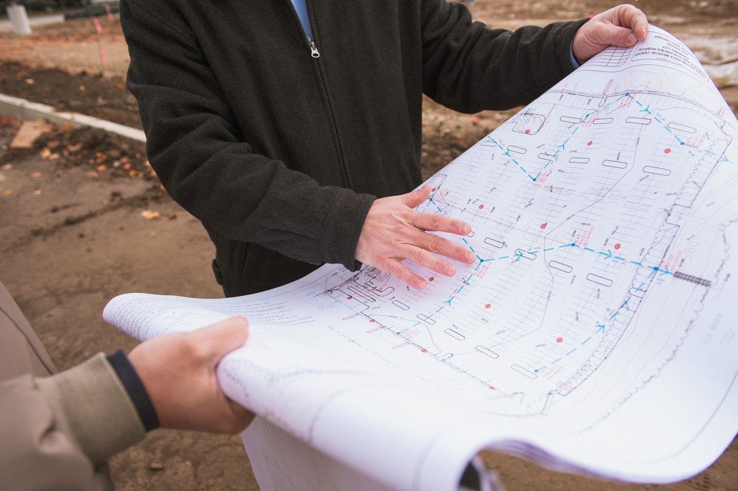
Land Surveying
We offer the experience of highly skilled professionals and the knowledge and capabilities to utilize state-of-the-art technology for all of our client’s land surveying needs.
- Bridges
- Mete's and Bounds
- Cadastral
- Boundary
- Construction
- Topographic
- Subdivision
- Route
- Utility/Transportation
Aerial Photogrammetry Consulting
At ELR, we provide the highest standard of aerial photogrammetry consulting. We focus on understanding the specific aerial surveying requirements and exceeding clients’ expectations.
- Site Evaluation
- Project Coordination
- Photo Control with GPS
- Field Checking
- Targeting
GPS Surveying
ELR’s professional and knowledgeable staff is supplemented by state-of-the art GPS surveying technology. ELR is equipped to address the many surveying needs of our various clients. From private to public, ELR is your surveying solution.
- Geodetic Control Surveys
- Photogrammetric Control
- Route Control
- Rural Boundary Surveys
- Real-Time Kinematic Surveys
- GIS – Geographic Information Systems
We utilize the latest software and surveying practices to provide accurate spatial data collection and display. This provides our clients with a clear representation of their project objectives by implementing GIS spatial data technology.
- GPS data collection
- Paper map digitizing and georeferencing
- Geodatabase creation
- Spatial data analysis
- Display of spatial data on maps and charts
Hydraulic Surveying
Hydraulic surveying is essential to providing accurate information, which is required when choosing sites for important projects, such as bridges, docks, and underground pipelines.
- Dredging
Related Projects
| Sample Projects | |||
|---|---|---|---|
Project Info | State | Construction Cost | Cut Sheet |
Roads, Bridges, Tunnels - KSA Conference Client: Location: | Ohio | N/A | |
West Virginia Great Barrel Company, LLC Client: West Virginia Great Barrel Company, LLC Location: Greenbrier County | West Virginia | $1,500,000 | |
Raleigh County Memorial Airport Industrial Park Site Preparation Client: New River Gorge Regional Development Location: Raleigh | West Virginia | $8,300,000 | |
Mountaintop Beverage Facility Utility Upgrades Client: Morgantown Utility Board Location: Monongalia County | West Virginia | $6,500,000 | |
CUY-490/010-2.09/19.28 Opportunity Corridor 3 Client: Michael Baker International Location: Cleveland | Ohio | $150,000,000 | |
HUR-99-13.77 Value Engineering Client: Mosser Construction Location: Huron County | Ohio | $1,280,600 | |
LOR-58-7.36 Value Engineering Client: Beaver Excavating Company Location: Wellington | Ohio | $12,300,000 | |
West Virginia 4 Landslide Repair Client: Triton Construction Location: WV | West Virginia | $5,000,000 | |
West Virginia DOT District 2 Landslide Remediation Client: WVDOT District 2 Location: Lincoln County | West Virginia | $6,000,000 | |
West Virginia DOT District 2 Landslide Remediation (Mingo) Client: WVDOT, District 2 Location: Mingo County | West Virginia | $1,750,000 | |